MAURI COMPASS NEWS
Accredited Mauri Compass Training Courses for All
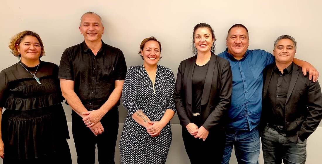
Accredited Mauri Compass Assessor Training.
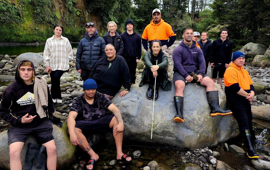
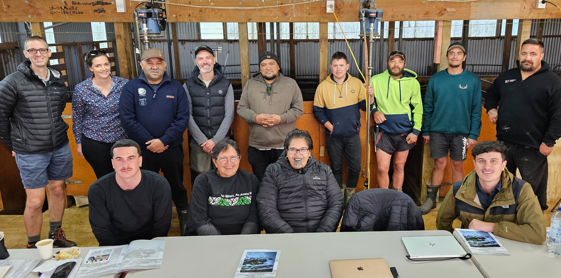
Mauri Compass Assessor training hosted by Sera and Dylin from the Ngati Tawhirikura Kaimahi for Nature team. Along for the journey are Te Kotahitanga o Te Atiawa and the Department of Conservation.
Ka whakaaraara te tangata, ka whakaora te wai, ka whakahoki te taonga.
At the same time we are assessing the historic, current and aspirational state of mauri of the Waiwhakaiho river.
A big mihi to Fonterra for your sponsorship of this programme and commitment to kaitiakitanga.
Ka whakaaraara te tangata, ka whakaora te wai, ka whakahoki te taonga.
At the same time we are assessing the historic, current and aspirational state of mauri of the Waiwhakaiho river.
A big mihi to Fonterra for your sponsorship of this programme and commitment to kaitiakitanga.
Mauri Compass Cultural Monitoring Programmes
We have trained representatives from Ātihau Whanganui and the Ngāti Rangi Taiao Team as part of our ongoing cultural monitoring programmes.
Mauri Compass Farm Management Plans: Ahuwhenua Trophy Winner Wi Pere Trust
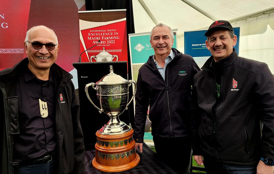
Alan Haronga, Ian Ruru and Kingi Smiler. Wi Pere Trust Ahuwhenua Trophy Winners 2022.
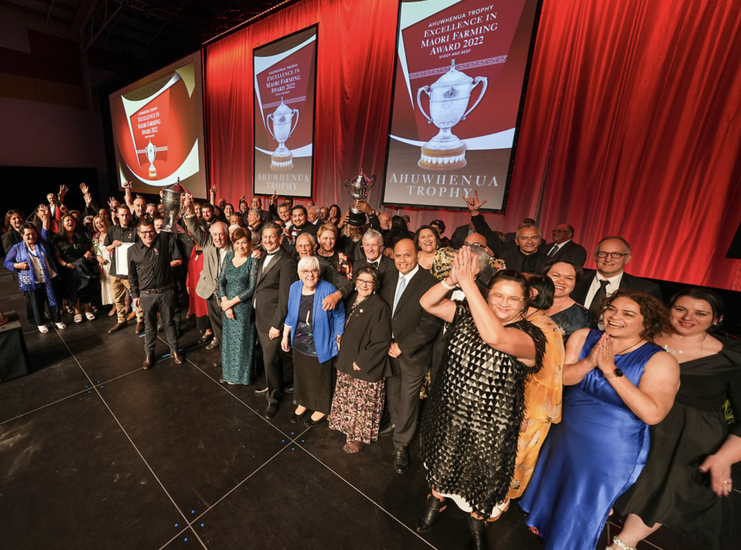
Wi Pere Trust use the Mauri Compass to enhance the cultural and environmental aspects of their farming operations.
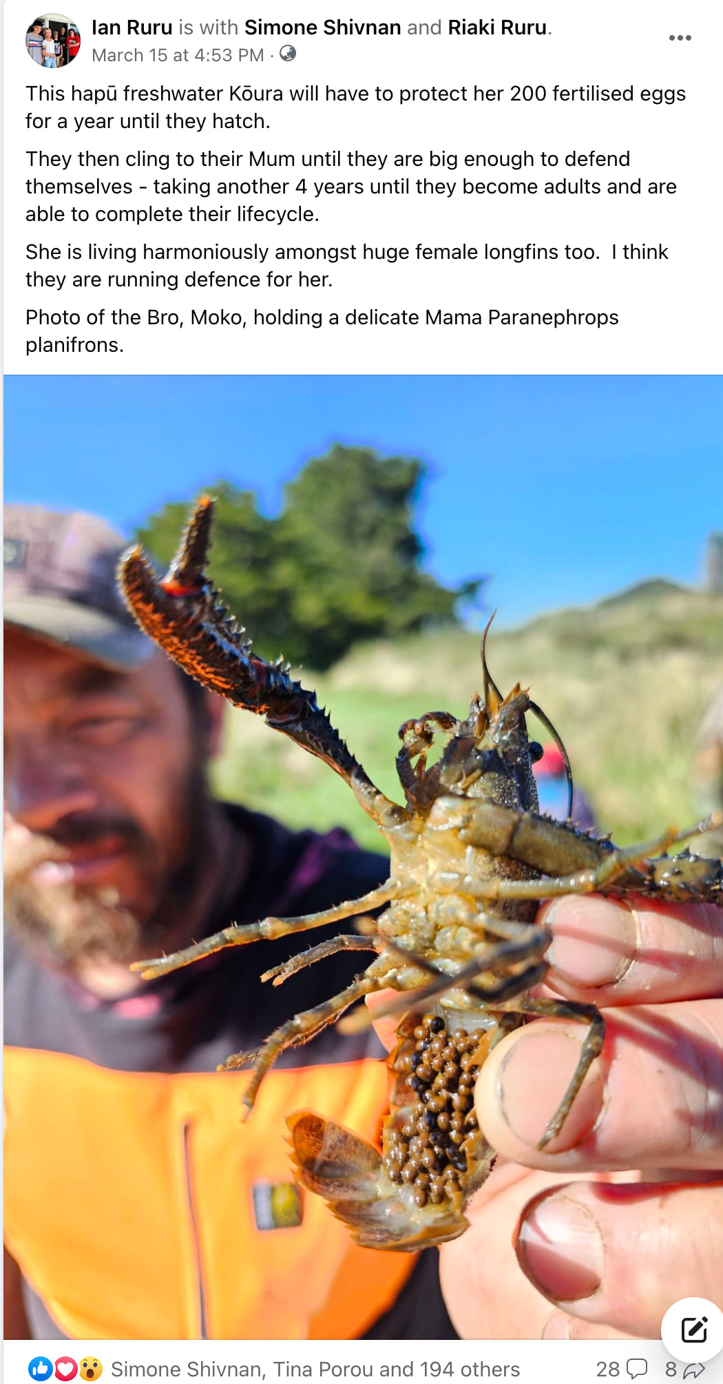
Ngati Mutunga applying the Mauri Compass to the Urenui River
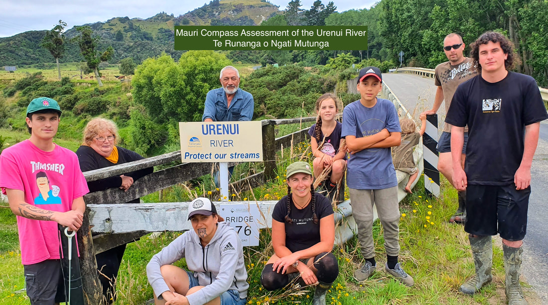
Featuring in the Taranaki State of Environment Report 2022
Kaitiaki from Te Runanga o Ngati Mutunga have completed the training course and become accredited Mauri Compass Assessors. They are now leading their own Mauri Compass monitoring programmes.
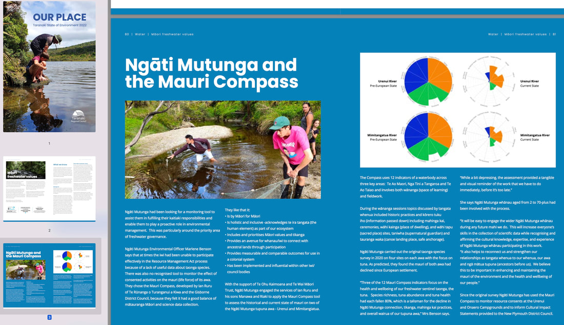
How Te Runanga o Ngati Mutunga applied the Mauri Compass to the Urenui River and Mimitangiatua River.
Accredited Mauri Compass Training Courses for Regional Council staff
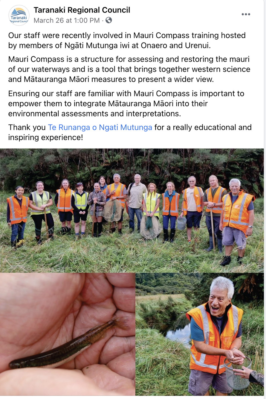
Steve Ruru, CEO of the Taranaki Regional Council led the way for a training package for 30 staff members. We were hosted by Te Runanga o Ngati Mutunga [Urenui].
Download our mahinga kai toolkit from the MfE website
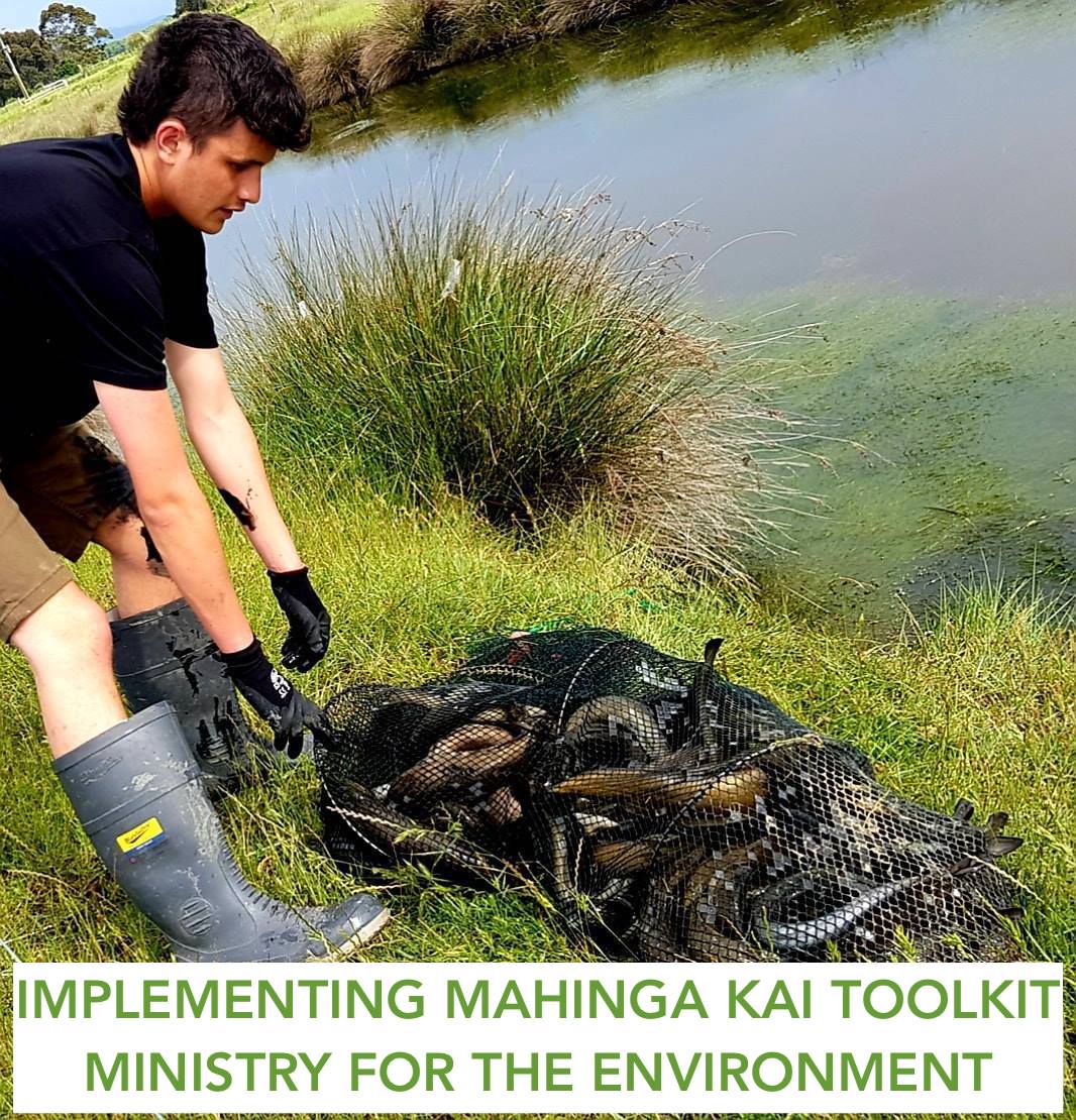
This report is intended to provide a starting point for implementing mahinga kai, as required by the National Policy Statement for Freshwater Management 2020.
The report was commissioned by the Ministry for the Environment and offers tools and guidance that tangata whenua and regional councils may wish to use to facilitate the inclusion of mahinga kai values in regional plans by 2024.
Te Wai Maori Trust
We would like to acknowledge the support from Te Wai Maori Trust. Donna Flavell [Chairperson], Ian Ruru, Erina Watene Rawiri, Maria Nepia, Rawiri Faulkner and Pahia Turia. The Ngati Mutunga Report was funded through the Wai Ora Fund in 2020.